Defense Installation Spatial Data Infrastructure (DISDI) Support Program
Tactica was contracted by Image Matters, LLC to provide geospatial support to the Office of the Department of Deputy Under Secretary of Defense for Installation and Environment. Tactica’s support includes updates to DISDI Common Installation Picture (CIP) layers for all DoD components. Tactica produces geospatial mapping products, including mapbooks and maps for analysis and dissemination. Tactica updates data to National Geospatial- Intelligence Agency (NGA) Geospatial-Intelligence Visualization Services (GVS), DISDI Portal, NORTHCOM, and TRANSCOM, adhering to operations security (OPSEC) standards. We research imagery availability in different agencies (e.g., USDA, USGS) through Web 2.0 channels and monitor the collection of the NGA’s 133 Urban Areas Imagery. This project demonstrates Tactica’s ability to provide products with geometric accuracy, thematic accuracy, resolution, precision, and fitness for use.
Project at a Glance
- Location: Global Business Mission Areas
- Our Role: CIP Updates | NGA and GVS Updates | Mapbook Creation
- Project Metrics: OPSEC Standards | Monitor Imagery of 133 Urban Areas
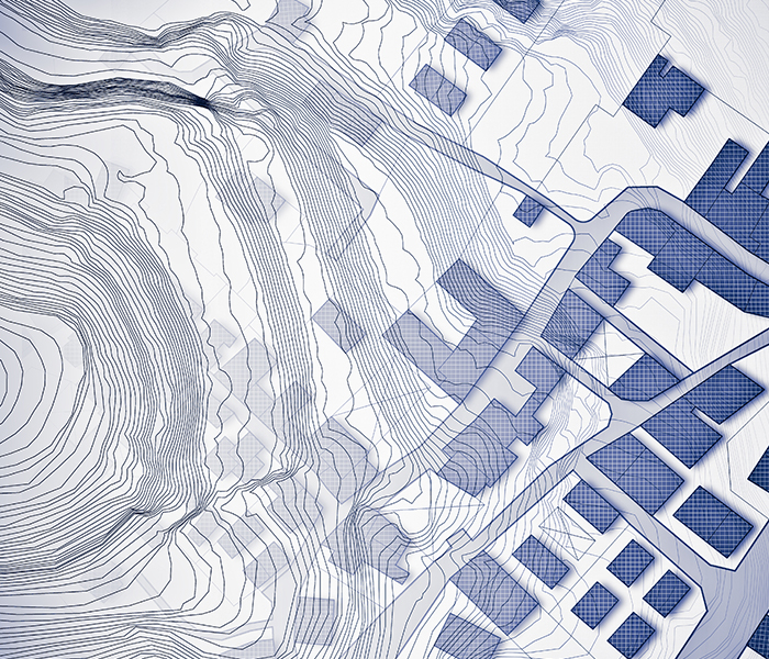
Geospatial Sustainment Fort Drum, NY
Tactica provides all resources necessary for data sustainment, including onsite resources to collect/verify as-built site conditions, perform field surveys of the geospatial and real property data being maintained, input changes into the Installation Geospatial Database (ISDB), update record drawings using Computer Aided Drafting (CAD) tools, and map support.
Tactica provides a wide range of sustainment services. Geospatial features involved includes:
- Gravity Systems, including maintenance holes, manholes,inlets, drainage structures, culverts, pipes, and sumps
- Pressure Systems, including valves, hydrants, trace wire vaults, and utility pipes marked with tracer wire
- Electrical/Communication Systems, including communication pathways and switch nodes, underground cables, communication maintenance holes, and surface equipment
- Visible Real Property Features, including roadways, driveways, parking lots, shoulders, airfield pavements, and unpaved roadways and parking lots
Project at a Glance
- Location: Global Business Mission Areas
- Our Role: CIP Updates | NGA and GVS Updates | Mapbook Creation
- Project Metrics: OPSEC Standards | Monitor Imagery of 133 Urban Areas
CAPABILITIES

General Fund Enterprise Business System (GFEBS)
General Fund Enterprise Business System (GFEBS)
- Validate, reconcile, and correct all real property line items within GFEBS
- Update all required supporting documentation within the real property record
- Bring all real property records into audit compliance, taking whatever action is needed (real property photos, real property identifiers, creating/organizing real property folders)

Engineering Services
Engineering Services
- Provide expert Computer-Aided Design and Drafting (CADD) support to U.S. Army installations, including data collection and processing, quality control, document management, and data repository solutions
- ePRISMS data collection and development allows U.S. Army installations to have standardized baselines of all building data sets
- Assist U.S. Army installations with space utilization and management
- Signals Intelligence (SIGINT)
- Geospatial Intelligence (GEOINT)
- SIGINT/Electronic Intelligence (ELINT) Training Dev & Instruction
Military Master Planning
Military Master Planning
- Requirements analysis processes following the principle methodology defined in the IMCOM Space Planning Criteria Manual text
- Planning Charrette to produce DD Form 1391 accurately capturing desired scope, justification and cost of the mission with supporting documentation
- Facility Utilization Studies
- Area Development and Area Development Execution Plans